Projects
Tagged As
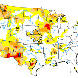
Artificial Intelligence–Based Drought Prediction
We are developing a neural network using data derived from satellite measurements of temperature and humidity to improve drought monitoring and forecasting.
Tags
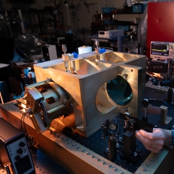
Methane Detection Study
We are investigating the use of novel imaging technologies for detecting and quantifying methane emissions in the atmosphere.
Tags
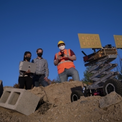
Motion Under Rubble Measured Using Radar
Our see-through-wall sensor is a lightweight, portable technology that peers through rubble and debris of a disaster site to detect survivors.
Tags