Projects
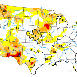
Artificial Intelligence–Based Drought Prediction
We are developing a neural network using data derived from satellite measurements of temperature and humidity to improve drought monitoring and forecasting.
Tags
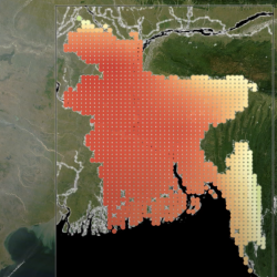
Climate Resilience Early Warning System Network (Jameel Observatory-CREWSnet)
We are creating proactive, integrated decision-support tools and services that empower vulnerable frontline communities to prepare for climate impacts and minimize losses.
Tags