Projects
Tagged As
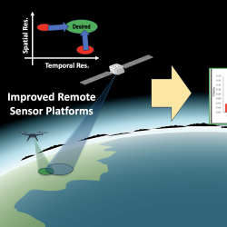
Advanced Sensing for Hydrological Metrology
With Alabama A&M University, we are identifying opportunities to apply new remote sensing concepts to improve groundwater measurements and models. These models can inform decisions related to agriculture, land use, human health and wellness, and geopolitical stability.
Tags
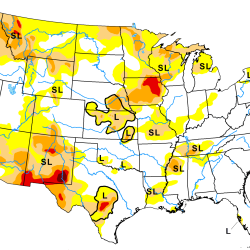
Artificial Intelligence–Based Drought Prediction
We are developing a neural network using data derived from satellite measurements of temperature and humidity to improve drought monitoring and forecasting.
Tags
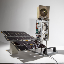
TeraByte InfraRed Delivery (TBIRD)
The laser communications payload has delivered terabytes of data from a satellite to Earth at record-breaking rates that will transform future science missions.
Tags
TROPICS
A constellation of small satellites is collecting rapidly refreshed weather data to advance studies of hurricane structure and intensity and improve forecasts.
Tags
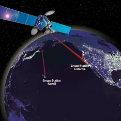
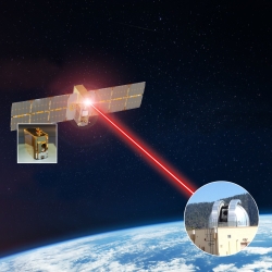
Laser Communications Relay Demonstration
Optical communications technologies decades in the making at Lincoln Laboratory were transferred to NASA for its first two-way laser relay communications system.
Tags
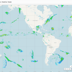
Global Synthetic Weather Radar
By compiling lightning data, satellite imagery, and numerical weather models, the GSWR provides radar-like analyses and forecasts over regions not observed by actual weather radars.
Tags
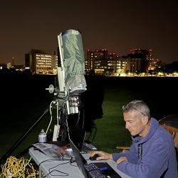
Mapping Aerosols in the Atmosphere using Bistatic Polarimetric Aerosol Lidar (BiPAL)
We are collaborating with University of Wisconsin Space Science and Engineering Center to create BiPAL, a new method for identifying and mapping aerosol vertical distributions within the atmosphere.
Tags
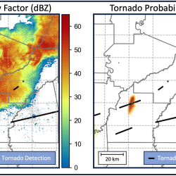
Intelligent Tornado Prediction Engine
We are developing deep learning models to detect and predict tornadoes in real time.
Tags
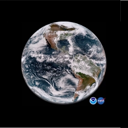
Geostationary Operational Environmental Satellite Series
The Laboratory's long-term collaboration with NOAA and NASA on environmental monitoring satellites has led to revolutionized weather imagery and products and improved detection for space and solar phenomena.
Tags
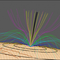
Applied Space Weather
New algorithms improve the resilience of satellite and RF systems to impacts from space weather.
Tags