Laser Aircraft Strike Suppression Optical System
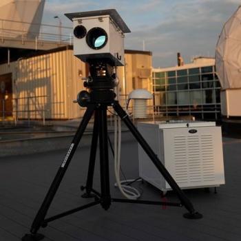
Lincoln Laboratory developed a ground-based prototype system that detects and geolocates a laser beam directed at an in-flight aircraft. Cameras of the Laser Aircraft Strike Suppression Optical System (LASSOS) capture images of the laser beam, and then processing algorithms utilize the multiple perspectives from the images to calculate the coordinates for the site from which the beam originated. LASSOS interfaces with Google Earth to provide law enforcement with a map to the subject responsible for the laser strike.
Motivation
In 2021, the Federal Aviation Administration reported 9,723 laser strikes on aircraft, the nation's highest ever number. Occurring primarily when aircraft are at low altitudes, i.e., during takeoff and landing, these strikes from popular handheld laser pointers present serious risks to air safety as pilots suffer distractions, temporary flash blindness, or eye damage. Thwarting these attacks has so far been ineffective. Mitigations such as special eyeglasses or tinted windows can compromise pilots' ability to monitor the sky or distort their recognition of colored airport lights, particularly at night. Legal action has not been a meaningful deterrent because it is hard for law enforcement to catch the subjects instigating the attacks.
Deterrent Tool: LASSOS

LASSOS was developed to help law enforcement successfully apprehend and prosecute originators of laser strikes. It is a ground-based sensor system that provides persistent monitoring of high-risk airspace, such as arrival and departure routes around major airports or helipads. Unlike airborne systems, it does not require a direct laser strike to the sensors to geolocate the origin of the beam. In addition, it is much less expensive to install a ground-based system at airports than to outfit a fleet of aircraft with advanced sensors or special beam-blocking measures.
Concept of Operation
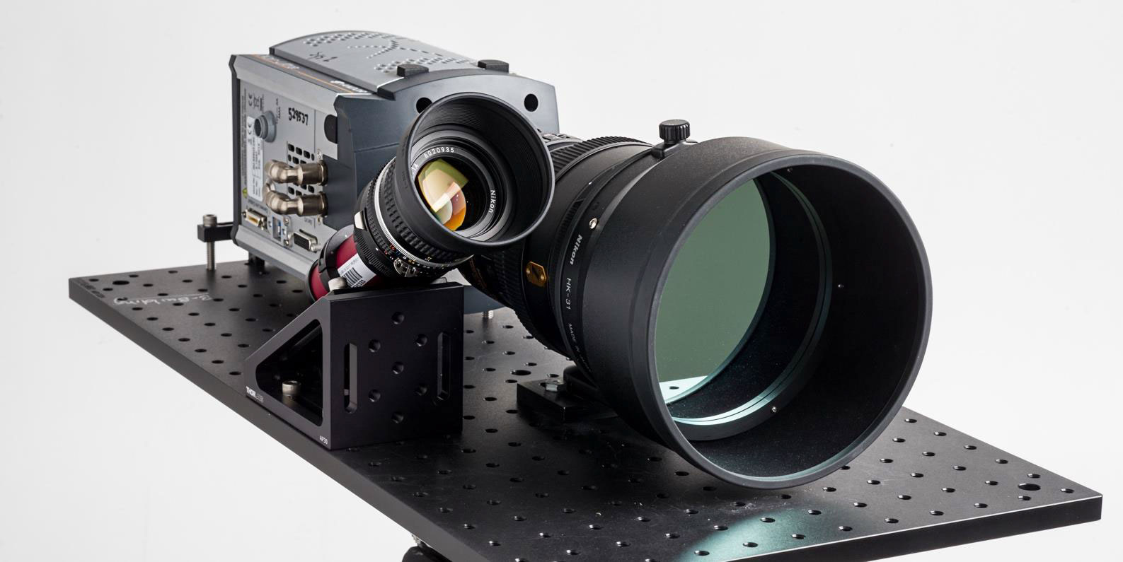
When a laser beam is directed at an aircraft, air and aerosols in the atmosphere scatter a portion of the light, forming a faint streak along the beam's path. Two or more sensors with large-aperture lenses, narrow bandpass filters, and single-photon-sensitive imagers capture and form an image of this streak at a range of several miles. The sensors, spaced a distance apart, capture the streak from different angles, or geometric planes. The intersection of the planes yields a vector from which our algorithms can calculate the latitude, longitude, and terrain altitude of the laser's originating location. Projected onto a topographically accurate map of the Earth's surface, this information can be converted to the nearest street address if desired and transmitted via computer or smartphone to law enforcement.
Benefits
- Identifies a laser beam within 8.9 nautical miles of the cameras
- Estimates geolocation 30 seconds after laser beam detection; able to locate the source of the laser accurately within a range of 20 meters or less
- Does not require changes to pilot or air traffic control procedures
- Correlates times of detected laser strikes with recorded aircraft flight tracks to provide law enforcement with corroboration of the strike
Additional Resources
Patent pending, 20180010911A1
More Information
E. Tomlinson et al., "Aircraft Laser Strike Geolocation System," paper in the 17th AIAA Aviation Conference, published online 5 June 2017.
