


Quantum MagNav sensor transitions to industry
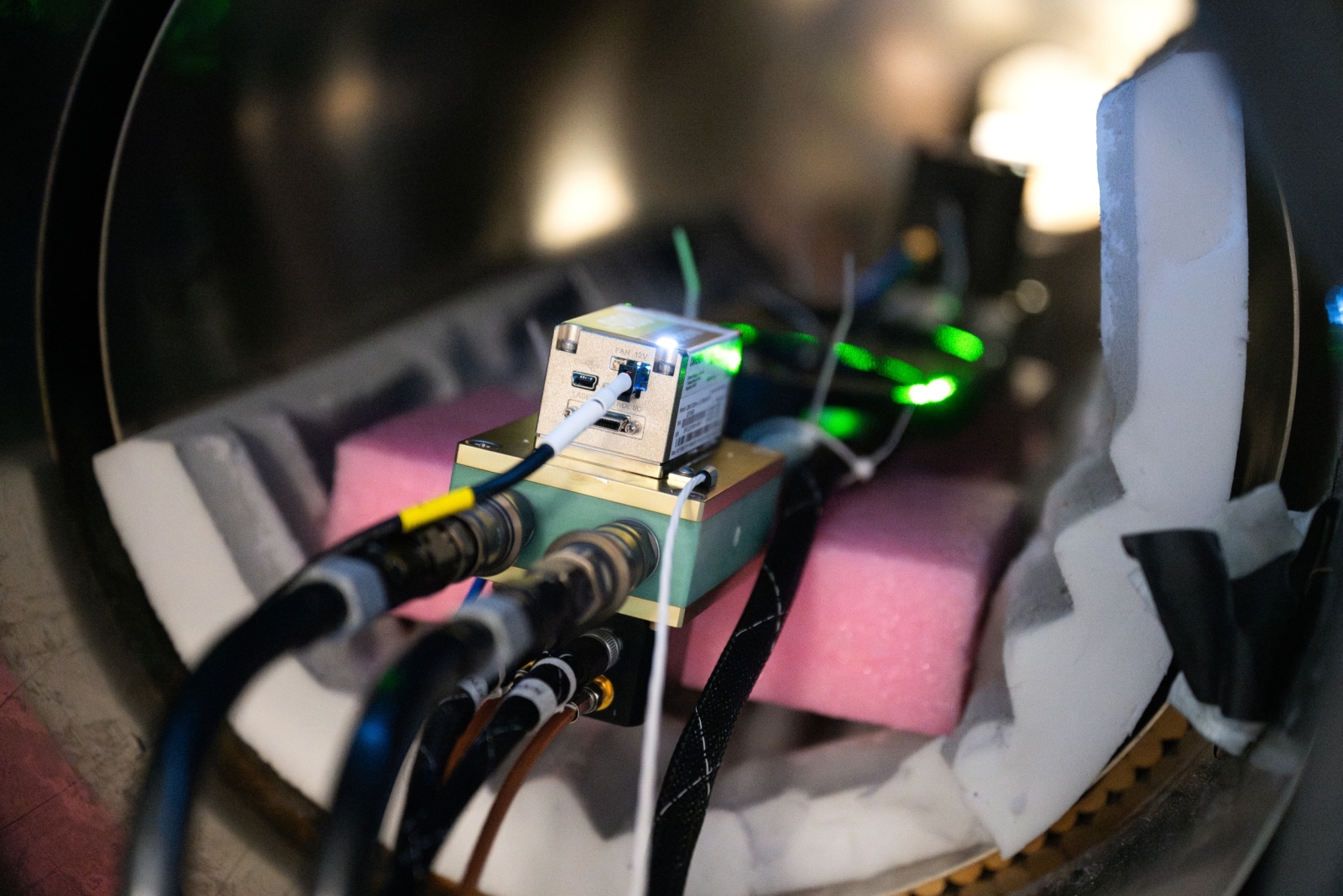
Lincoln Laboratory is working with the Defense Innovation Unit and Frequency Electronics Inc. (FEI) to move its diamond magnetic sensor from the lab to the field. Lincoln Laboratory's advanced quantum engineering, deep systems analysis, and prototype field-testing capabilities enabled this first-of-its-kind vector magnetic navigation (MagNav) system based on a quantum diamond sensor, an alternate navigation technology for use in GPS-denied conditions.
The Laboratory is working with FEI to test and integrate the sensor onto a platform for aerial applications.
Limitations of GPS
Since the 1990s, GPS has been the gold standard for the nation's position, navigation, and timing (PNT) needs — think Google maps, air traffic control, or even online banking. To determine a user's location on Earth, GPS technology measures the time it takes for radio signals from orbiting satellites to reach a receiver, such as that in your cell phone. While effective, GPS is vulnerable to outages, disruption from weather or buildings, or intentional interference and manipulation.
In 2022, two incidents of GPS disruption at the Dallas and Denver airports grounded aircraft and created dangerous landing, collision, and navigation risks for pilots and passengers. Both disruptions lasted more than 24 hours and served as a wake-up call to the severity of GPS outage risks. On the battlefield, GPS jamming and spoofing tactics are increasing, and traditional GPS-denied environments (e.g., undersea) need better navigation capabilities to ensure operational success.
The Federal Communications Commission (FCC) and other government entities consider GPS a critical single point of failure for the nation. In 2025, the FCC issued a formal inquiry to explore new navigation technologies that could serve as backups or alternatives to GPS.
GPS is our workhorse for knowing where we are, and it's becoming increasingly susceptible to interference. We need to address our nation's overreliance on GPS.
A magnetic solution
Magnetic navigation offers PNT capabilities that are less vulnerable to natural or intentional interference. Unlike GPS, which uses radio waves that are engineered and emitted by satellites, MagNav relies on the Earth's crustal magnetic field — a natural and constant signal that is unaffected by weather or structures and cannot be blocked or mimicked.
To determine a user's location, a MagNav system compares the magnetic field present at the system's location to a map of the Earth's crustal magnetic field. This comparison requires the system's sensor to be accurate and stable over time. If the sensor starts to degrade, its ability to compare its measurements with the map declines.
Current MagNav sensors are scalar, meaning they measure only the magnitude of the Earth's magnetic field. Lincoln Laboratory's sensor measures the vector, which includes information on both the magnitude and direction of the field, and is the first to do so without prohibitive degradation.
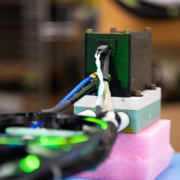
Measuring the full vector is crucial when a sensor system travels through an area where the magnitude of the magnetic field varies very little. In these situations, a scalar sensor would be unable to determine its position until it could detect a change in the field.
Imagine that a hiker with a trail map is dropped into a forest where every direction looks the same. Without more information, the choice to follow one path instead of another would be arbitrary. Imagine instead that the hiker spots colored trail markers that lead in different directions. Now, the hiker can use the map to choose which colored trail to follow.
"More information means more accuracy," says Linh Pham, the MagNav sensor project lead from Lincoln Laboratory's Advanced Quantum Technologies Group. "And the additional information from a vector sensor can be the difference between saying 'Yes, I can navigate' or 'I'm completely lost.'"
Lincoln Laboratory's vector MagNav sensor is the first to be stable, accurate, and cost-effective enough for use in real-world applications.
Vector MagNav from the ground up
Transitioning a new technology from a highly controlled laboratory environment into a real-world system — a hurdle called the "valley of death" in technology-transfer circles — requires adapting that technology to function and survive in uncertain and less-optimal conditions. For aerial applications, such as intelligence, reconnaissance, and surveillance missions in contested or remote environments, the technology must also be small enough to fit on the platform.
To build this type of field-ready sensor, Lincoln Laboratory employed unique cross-functional capabilities, including specialized diamond materials engineering, rapid prototyping, and expertise in navigation and aerial systems solutions.
The Laboratory's diamond quantum sensing team began developing the sensor in 2016, using diamond engineered to have structural defects called nitrogen-vacancy centers. The MagNav team then adapted the sensor's controlled, lab-bench form into a rugged, robust, and portable system.
A series of flight tests in 2022 then proved that the sensor worked in areas with little magnetic variation (where scalar measurements fail) and also delivered a twofold improvement in accuracy over scalar platforms in more typical conditions. In 2025 and 2026, the team conducted additional successful flight tests.

This work started as an internally funded project and transitioned to sponsored research in 2023 through the Air Force Research Laboratory. In 2025, as part of the Defense Innovation Unit's Transition of Quantum Sensing (TQS) program, the Laboratory transitioned the sensor to FEI and is now collaborating with the company to prepare for widespread military and industrial adoption. Leidos, Inc. is also developing and evaluating algorithms that leverage the sensor's new capabilities.
"We are currently charting a path to sensor manufacturability; performance improvements; and reduced size, weight, and power — all with the shared goal of significant operational improvements," says Huascar Ascarrunz, the vice president for quantum products at FEI.
Simultaneously, the Laboratory's MagNav team is collaborating with the U.S. Army Combat Capabilities Development Command Army Research Laboratory to tune the sensor for U.S. Army–related applications.
"Our long-term vision is to build an integrated chip-scale version of this technology, which could make vector MagNav sensing manufacturable and scalable to tens of thousands of units," Pham says. "Chip scale means it can be put on smaller platforms, and scalable means low cost for industrial proliferation."
Beyond aerial navigation, the team sees potential for the sensor to deploy undersea and in space.
Inquiries, contact Anne McGovern.