Air Traffic Control Automation & Aviation Weather Decision Support Laboratories

ATC Automation Laboratory
The ATC Automation Laboratory currently comprises a virtual ATC control tower and the Trajectory Based Operations (TBO)/Weather Testbed as described in the video below.

Staff use the tower simulator to evaluate prototype automation systems — including electronic touch-screen flight-data displays and enhanced surface-situation displays — and algorithms for sequencing and scheduling arriving and departing aircraft at an airport. Air traffic simulations with pre-scripted events allow staff to explore stressing situations. Testing in this controlled environment helps staff identify and reduce potential technical problems in the prototypes before they are deployed for evaluation at operational field sites, as described in the video.
The TBO/Weather Testbed is being used to help develop weather enhancements to TBO automation systems such as the FAA’s Time Based Flow Management (TBFM) so they function more effectively under challenging convection and wind conditions. The testbed is designed to allow flexible analysis of the impacts of different weather input and algorithmic changes on operational TBO systems, in partnership with key aviation stakeholders.
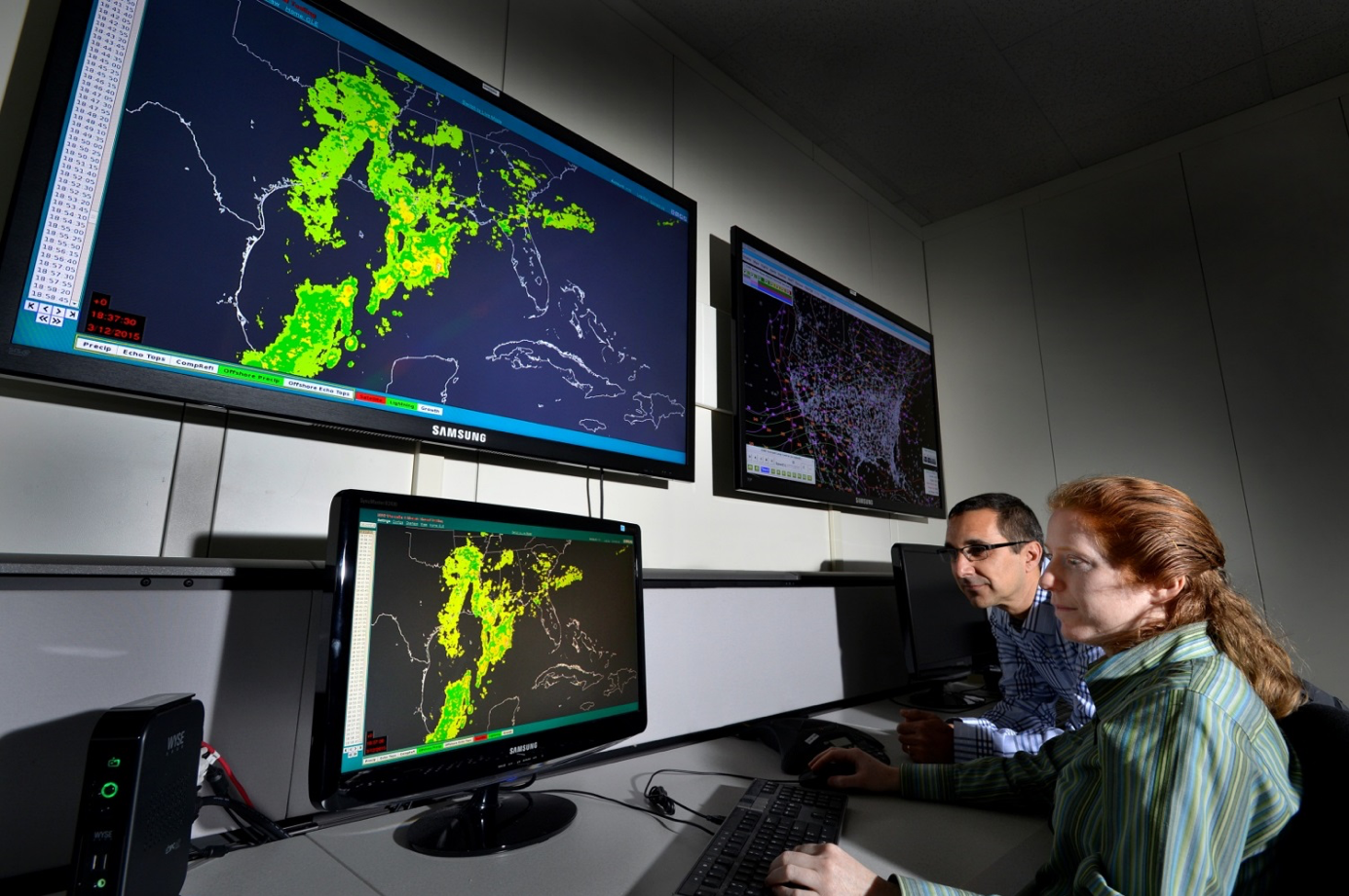
Aviation Weather Decision Support Laboratory
The Aviation Weather Decision Support Laboratory is a venue to integrate relevant ATC operational data and to develop and refine decision support systems.

The computer systems in the facility continuously assimilate and archive live air traffic and weather data from across the United States. Data streams from more than 150 NEXRAD radars are used to validate algorithm improvements to better detect hazardous winds, icing, or hail. Aviation weather algorithms and other technologies developed in this facility contribute to currently operating weather systems, including the Integrated Terminal Weather System (ITWS), the Corridor Integrated Weather System (CIWS), the Offshore Precipitation Capability (OPC) and the Global Synthetic Weather Radar (GSWR).
Air traffic impact decision support tools such as the Route Availability Planning Tool (RAPT), Traffic Flow Impact (TFI), and Airport Capacity Evaluation and Prediction Tool (ACEPT) are also integrated in the laboratory. Staff are also developing future integrated weather and traffic impact systems, such as the NextGen Weather Processor (NWP), which will consolidate the weather tracking and analysis capabilities of multiple legacy systems.
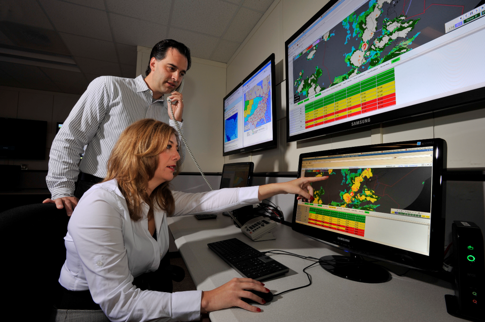
The facility's systems also automatically generate detailed statistical summaries showing the interaction of aircraft with weather in the congested Northeast corridor between Boston and Washington, D.C. This information is made available on a website every day. Air traffic managers, airlines, and airport authorities can review the statistics for post-event analyses to assess flight and air traffic control efficiency and strategize improvements for the future. Specific problems identified by these statistics help guide the Laboratory's efforts to improve decision support systems for air traffic management.