Using deep learning to image Earth's planetary boundary layer

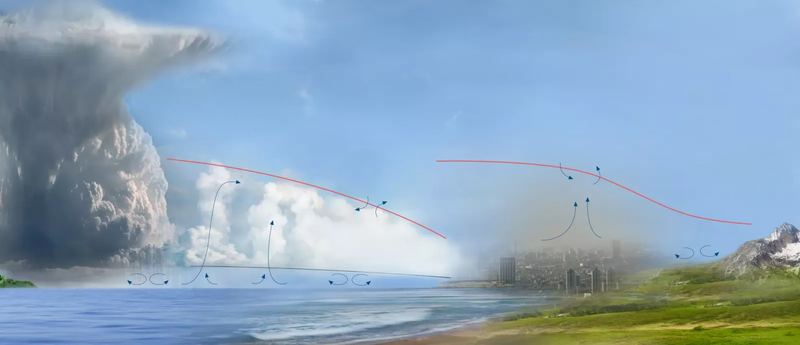
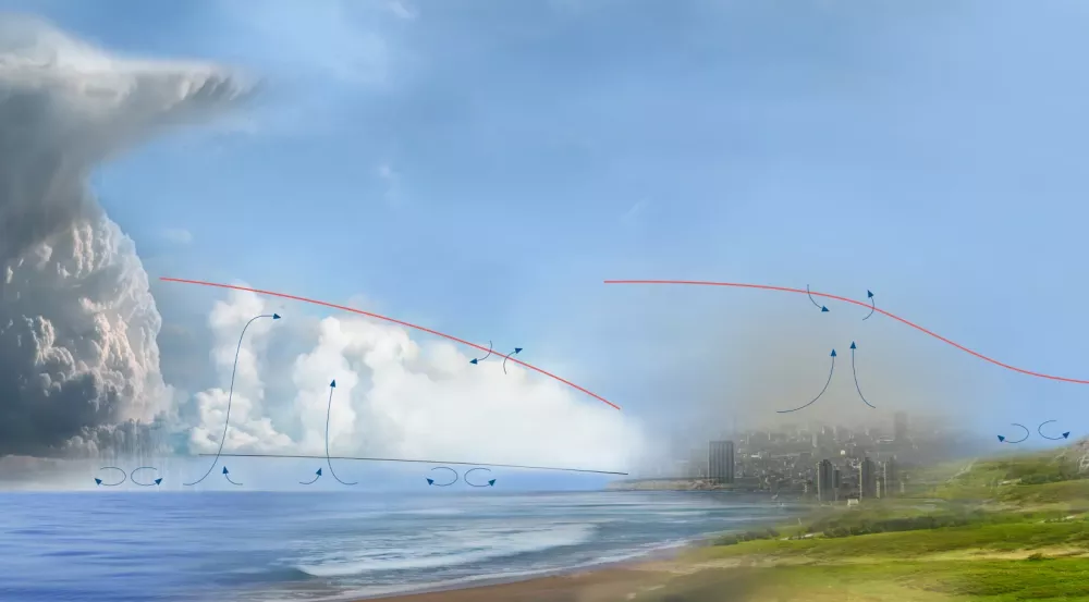
Though the troposphere is often thought of as the closest layer of the atmosphere to Earth’s surface, the planetary boundary layer (PBL) — the lowest layer of the troposphere — is actually the part that most significantly influences weather near the surface. In the 2018 planetary science decadal survey, the PBL was raised as an important scientific issue that has the potential to enhance storm forecasting and improve climate projections.
"The PBL is where the surface interacts with the atmosphere, including exchanges of moisture and heat that help lead to severe weather and a changing climate," says Adam Milstein, a technical staff member in the Applied Space Systems Group. "The PBL is also where humans live, and the turbulent movement of aerosols throughout the PBL is important for air quality that influences human health."
Though vital for studying weather and climate, important features of the PBL, such as its height, are difficult to resolve with current technology. In the past four years, Lincoln Laboratory staff have been studying the PBL, focusing on two different tasks: using machine learning to make 3D-scanned profiles of the atmosphere, and resolving the vertical structure of the atmosphere more clearly in order to better predict droughts.
This PBL-focused research effort builds on more than a decade of related work on fast, operational neural network algorithms developed by the Laboratory for NASA missions. These missions include the Time-Resolved Observations of Precipitation structure and storm Intensity with a Constellation of Smallsats (TROPICS) mission as well as Aqua, a satellite that collects data about Earth’s water cycle and observes variables such as ocean temperature, precipitation, and water vapor in the atmosphere. These algorithms retrieve temperature and humidity from the satellite instrument data and have been shown to significantly improve the accuracy and useable global coverage of the observations over previous approaches. For TROPICS, the algorithms help retrieve data that are used to characterize a storm’s rapidly evolving structures in near real time, and for Aqua, it has helped increase forecasting models, drought monitoring, and fire prediction.
These operational algorithms for TROPICS and Aqua are based on classic "shallow" neural networks to maximize speed and simplicity, creating a one-dimensional vertical profile for each spectral measurement collected by the instrument over each location. While this approach has improved observations of the atmosphere down to the surface overall, including the PBL, Laboratory staff determined that newer "deep" learning techniques that treat the atmosphere over a region of interest as a three-dimensional image are needed to improve PBL details further.
"We hypothesized that deep learning and artificial intelligence (AI) techniques could improve on current approaches by incorporating a better statistical representation of 3D temperature and humidity imagery of the atmosphere into the solutions," Milstein says. "But it took a while to figure out how to create the best dataset — a mix of real and simulated data; we needed to prepare to train these techniques."
The team collaborated with Joseph Santanello of the NASA Goddard Space Flight Center and William Blackwell also of the Laboratory's Applied Space Systems Group in a recent NASA-funded effort showing that these retrieval algorithms can improve PBL detail, including more accurate determination of the PBL height than the previous state of the art.
While improved knowledge of the PBL is broadly useful for increasing understanding of climate and weather, one key application is prediction of droughts. According to a Global Drought Snapshot report released last year, droughts are a pressing planetary issue that the global community needs to address. Lack of humidity near the surface, specifically at the level of the PBL, is the leading indicator of drought. While previous studies using remote-sensing techniques have examined the humidity of soil to determine drought risk, studying the atmosphere can help predict when droughts will happen.
In an effort funded by the Laboratory’s Climate Change Initiative, Milstein, along with Laboratory staff Michael Pieper, are working with scientists at NASA’s Jet Propulsion Laboratory (JPL) to use neural network techniques to improve drought prediction over the continental United States. While the work builds off of existing operational work JPL has done incorporating (in part) the Laboratory’s operational “shallow” neural network approach for Aqua, the team believes that this work and the PBL-focused deep learning research work can be combined to further improve the accuracy of drought prediction.
"The Laboratory has been working with NASA for more than a decade on neural network algorithms for estimating temperature and humidity in the atmosphere from spaceborne infrared and microwave instruments, including those on the Aqua spacecraft," Milstein says. "Over that time, we have learned a lot about this problem by working with the science community, including learning about what scientific challenges remain. Our long experience working on this type of remote sensing with NASA scientists, as well as our experience with using neural network techniques, gave us a unique perspective."
According to Milstein, the next step for this project is to compare the deep learning results to datasets from the National Oceanic and Atmospheric Administration, NASA, and the Department of Energy collected directly in the PBL using radiosondes, a type of instrument flown on a weather balloon. "These direct measurements can be considered a kind of 'ground truth' to quantify the accuracy of the techniques we have developed," Milstein says.
This improved neural network approach holds promise to demonstrate drought prediction that can exceed the capabilities of existing indicators, and to be a tool that scientists can rely on for decades to come.
Inquiries: contact Kylie Foy.