Autonomous Mobility Through Intelligent Collaboration
Most of the research and development today for autonomous ground vehicles focuses on single vehicles. However, the U.S. military seeks to team autonomous ground vehicles with humans and other systems for routine battlefield tasks such as off-road reconnaissance and surveillance.
MIT Lincoln Laboratory is working with the Army Ground Vehicle System Center to prototype and demonstrate autonomy concepts that leverage recent advances in computation, machine learning, and artificial intelligence. A key element of this research effort, called Autonomous Mobility Through Intelligence Collaboration (AMIC), is adopting a data-driven approach to autonomy development.
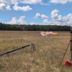
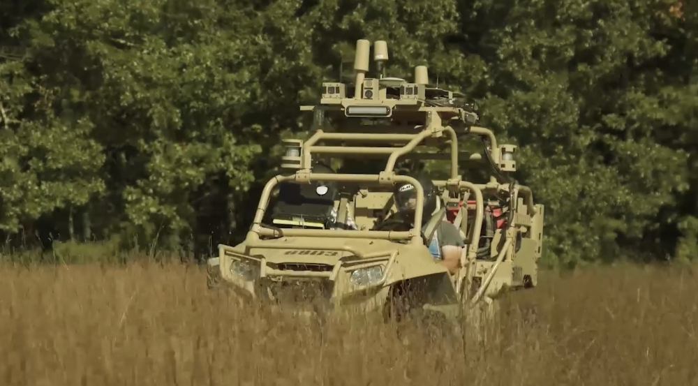
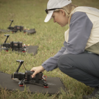
As part of the AMIC effort, Lincoln Laboratory built an autonomous air-ground team that maximizes overall mission effectiveness by leveraging the strengths of the different vehicles and overcoming their individual constraints. The above video captures a demonstration of this prototype air-ground team completing a terrain mobility mission. In the demonstration, an unmanned aerial vehicle (UAV) uses its ability to fly above the ground and quickly scan the area to identify good routes for the vehicle and detect other entities in the scene. It does so using machine learning algorithms to identify terrain types from its onboard camera feed and combines this information with lidar hits to make the map three-dimensional and detailed. The ground vehicle, which has the ability to move significant equipment and resources over long distances quickly, benefits from the air vehicle’s wide view, as its own sensors have a much more limited range. The UAV also processes its map in real-time to identify and recommend routes to the ground vehicle. The combined team enables more informed, faster and safer travel by the ground vehicle to its desired destination — in the demonstration, the ground vehicle was able to reach its destination nearly twice as fast as when sent on its own without the mapping information and recommended route.
Extensions to this teaming system include night operations and routing under canopy, more efficient exploration using prior scene and terrain information, and optimization of routes to maintain cover. Future efforts will extend to more distributed and scalable teaming missions under challenged communications conditions by reducing mapping data from individual team members to minimal key information using data abstractions.
Related
Events
News
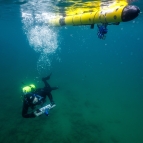
Human-machine teaming dives underwater