
Projects
Tagged As
Secure Radios for Uncrewed Systems
A security module, pre-certified by the National Security Agency, for protecting communications on uncrewed platforms can accelerate the fielding of new systems and open opportunities for the commercial sector.
Tags
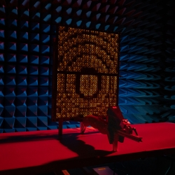
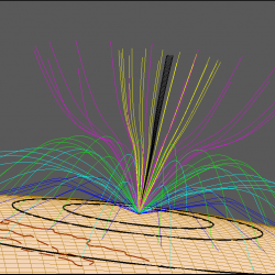
Mitigating cellular network congestion through adaptive beamforming with reflectarrays
A low-cost, reconfigurable radio receiver architecture provides an alternative approach to filter out unwanted transmissions in millimeter-wave (MMW) signals.
Tags

Dual-Use Waveforms for Radar Detection and Wireless Communication
New waveforms enable efficient spectrum sharing between radars sensing moving objects and wireless communications systems transmitting data.
Tags
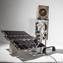
TROPICS
A constellation of small satellites is collecting rapidly refreshed weather data to advance studies of hurricane structure and intensity and improve forecasts.
Tags
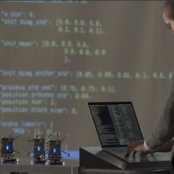
Radio-Based Navigation for Environments Without GPS
With the goal of enabling navigation in environments where GPS is unavailable or unreliable, researchers are developing algorithms to fuse information across a network of small, low-power radio-frequency devices.
Tags
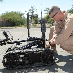
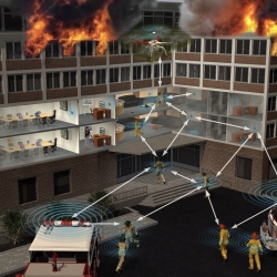
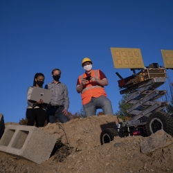
Low-Cost Localization Using Distributed Adaptable-Response Transponders
A deployable navigation network of small, low-cost radio transponders can help track the locations of first responders during rescue operations.
Tags

Airborne Radar Testbed
An aircraft outfitted with an advanced open-architecture radar system provides a platform for testing new radar technology.
Tags
Motion Under Rubble Measured Using Radar
Our see-through-wall sensor is a lightweight, portable technology that peers through rubble and debris of a disaster site to detect survivors.
Tags

Balloon-Based Resilient Communications
High-altitude balloons used as beyond-line-of-sight relays would provide communications nodes if satellite communications could not offer coverage in contested environments.
Tags
Applied Space Weather
New algorithms improve the resilience of satellite and RF systems to impacts from space weather.
Tags