PHOENIX High CASTLE
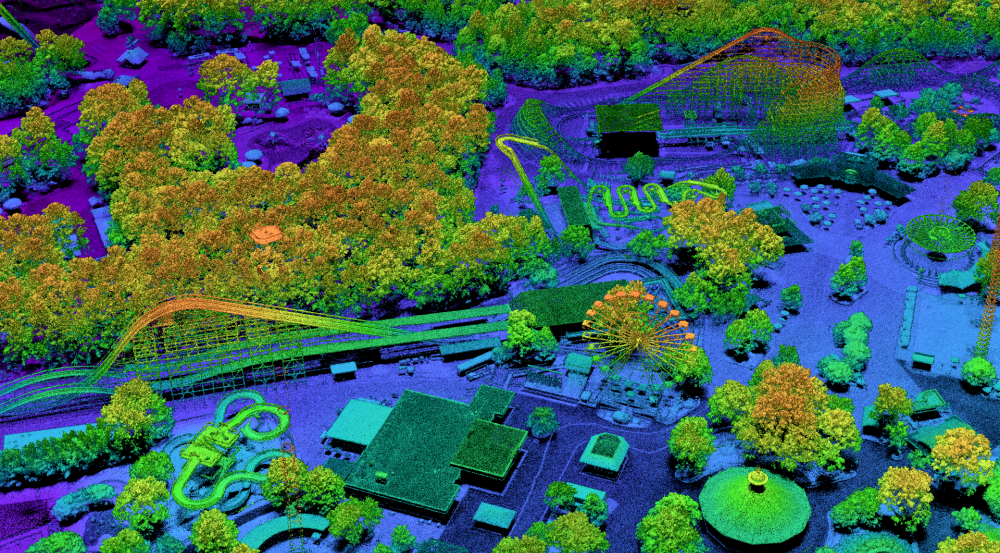
For more than 25 years, Lincoln Laboratory researchers have been developing 3D direct-detection ladar (laser detection and ranging), also referred to as lidar (light detection and ranging), systems based on Geiger-mode avalanche photodiodes. Capable of counting single photons, or particles of light, these photodiode detectors enhance the imaging sensitivity of ladar systems. The high-resolution and high-area-coverage-rate 3D imagery provided by these ladar systems are well suited to geospatial mapping missions—for example, wide-area (hundreds of square kilometers per hour) mapping of desert, jungle, and urban terrain and foliage-penetration imaging of terrain obscured by dense tree canopy.
The latest ladar system we developed is the PHOton Exploration and Novel Imaging eXperiments (PHOENIX) High-altitude Collaborative Airborne System for Tactical Lidar Experimentation (High CASTLE). PHOENIX High CASTLE can image at the highest optical resolution theoretically possible due to diffraction, or the spreading of light. This diffraction-limited operation is enabled through a divergent transmit laser beam and 5x zoom receiver optics.
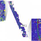
Working with the U.S. Army and subcontractors, we developed a testbed to evaluate the latest advancements in airborne ladar systems and identify best practices for collection of high-quality 3D data in challenging environments. During a flight campaign conducted in Virginia from June through August 2021, we demonstrated PHOENIX High CASTLE. In more than 200 passes flown over 13 unique geographic locations across seven sorties, we generated eight terabytes of very high-resolution ladar data. We are currently modifying the fully mission-capable ladar to add more flexible collection capabilities. A second flight campaign is planned for summer 2023.
Related
News

Q&A: Climate Grand Challenges finalists on using data and science to forecast climate-related risk


MIT spinoff building new solid-state lidar-on-a-chip system