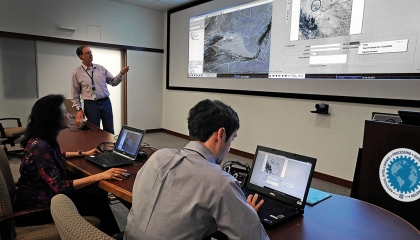
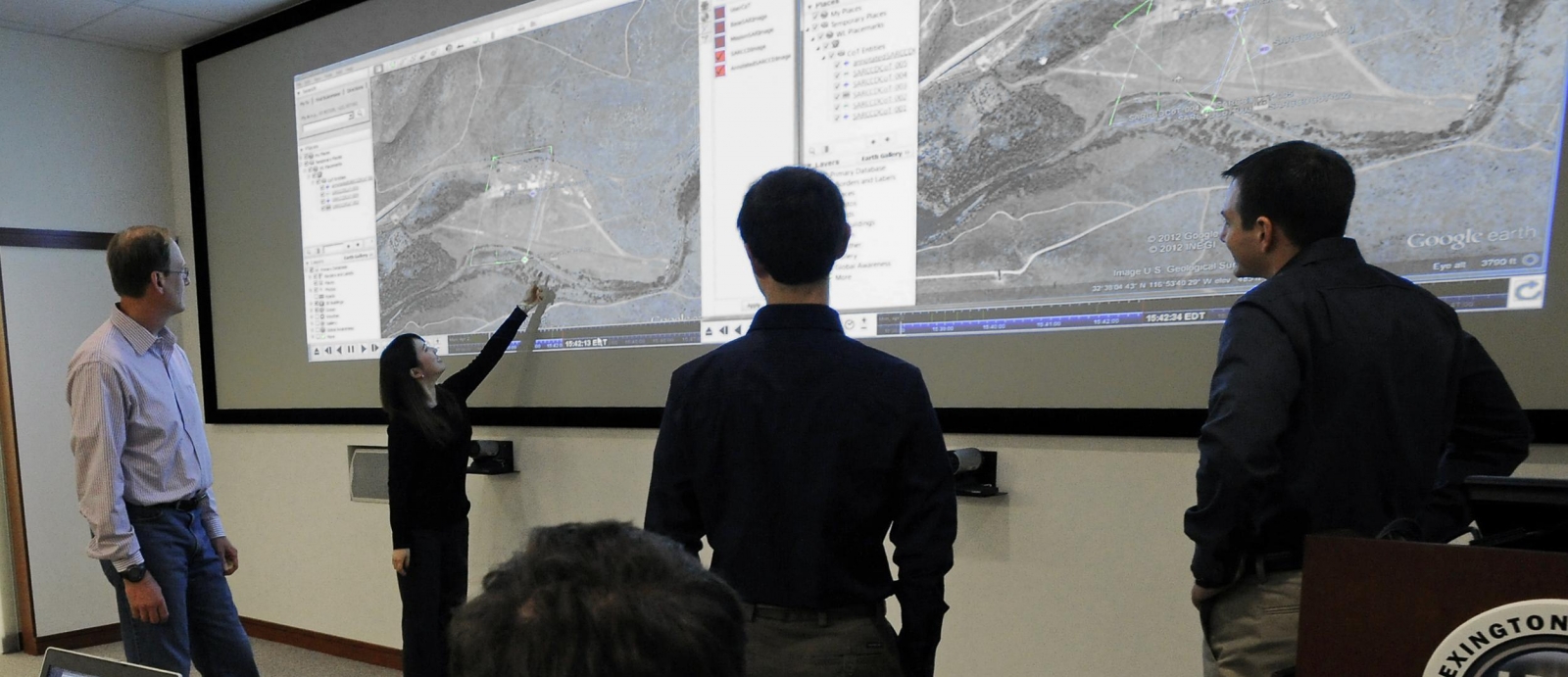
Technical staff members in the Intelligence and Decision Technologies Group review imagery of a location of interest in the maps projected in the PED Lab.

Homeland Decision Support Systems

In collaboration with industry and academia, we are working at the frontiers of artificial intelligence to develop and integrate advanced decision support prototypes that can address national security needs in the land, sea, air, and space domains. We have deployed real-time enterprise and edge solutions that support the warfighters at multiple combatant commands across the globe, providing a measurable impact to their missions. Our technical expertise spans deep learning, computer vision, natural language processing, graph theory, big data architectures, operations research, and system autonomy. Our goal is to enhance national security by leading the nation in developing and deploying advanced decision support systems by utilizing cutting-edge artificial intelligence and machine learning technologies.

Featured Projects
A graph with the words HAPI Human AI-performance against a blue background. Surrounding the words are images of technologies, including a wristband, a laptop, a sensored helmet, VR glasses, and gloves.
artificial intelligence
A new collaboration space is empowering researchers to drive innovations in human-AI teaming.
This image illustrates a retweet network for the #MacronLeaks narrative during the 2017 French presidential election. Each circle represents a Twitter account, and arrows represent “retweets.”
artificial intelligence
New software takes advantage of artificial intelligence techniques to automate the detection and assessment of aggressive influence operations.
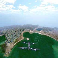
Simulation of a flight test
artificial intelligence
For experiments with unmanned aerial vehicles, researchers use simulated geographies that avoid the risks of real-world flight tests.
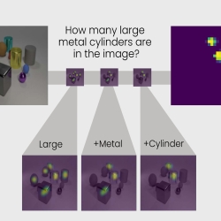
Graphic of TbD-net subtasks
artificial intelligence
A new neural network model reveals some of the mystery behind the decision-making capability of artificial intelligence systems.
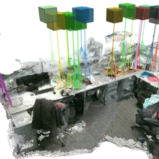
A goal of the program is to develop a system that can identify spatial relationships between objects in a scene, such as counting how many planes are parked at the terminal on the left.
information, computation, & exploitation
An artificial intelligence application that automatically identifies objects in aerial imagery could reduce the time analysts spend in manually combing through images.

Advancing Our Research

Events

Oct
8 - 10
MIT Lincoln Laboratory, Lexington, Massachusetts

Featured Publications

Axon tracing and centerline detection using topologically-aware 3D U-nets

Jul 11
2022 44th Annual International Conference of the IEEE Engineering in Medicine & Biology Society (EMBC), 2022, pp. 238-242

Geographic source estimation using airborne plant environmental DNA in dust

May 14
Sci. Rep., Vol. 11, No. 1, 10 August 2021, 16238.