Active Optical Systems
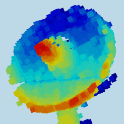
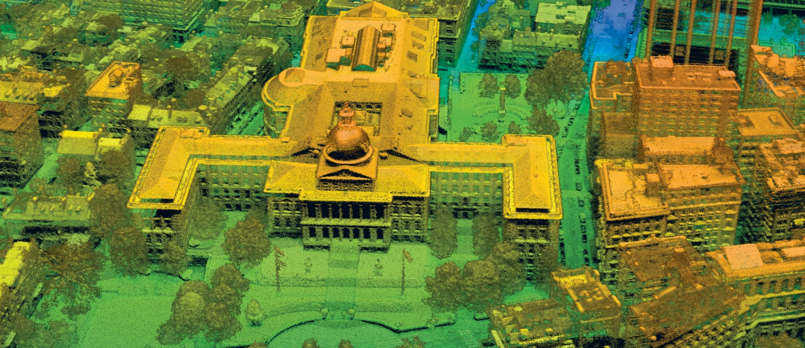
We conduct R&D in advanced electro-optical and infrared sensors used in intelligence, surveillance, and reconnaissance (ISR) and tactical missions. We focus on developing field-deployable active and passive imaging and remote-sensing systems. Our operational three-dimensional imaging laser radars (ladars) employ unique large-format, high-bandwidth detector arrays that are sensitive to single photons and are capable of rapidly mapping city-scale areas at very high resolution. We develop advanced algorithms and employ computer-vision techniques to perform automated scene interpretation. We are also developing coherent laser radar, exploring the adaptation of advanced radar techniques to the optical wavelengths and pushing the bandwidth of coherent systems to the terahertz scale. Another significant research area in our group is the development of advanced passive receivers that are based on high-bandwidth digital focal plane arrays capable of on-chip processing. We perform systems analysis to formulate mission-specific sensor concepts and conduct experiments to validate those concepts. We also perform data collection campaigns to investigate new phenomena and develop novel sensing modalities based on these data. Our goal is to develop and deliver advanced optical systems that enable high-impact capabilities for the nation.
Featured Projects
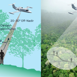
Finding People Under the Rainforest Roof with Lidar
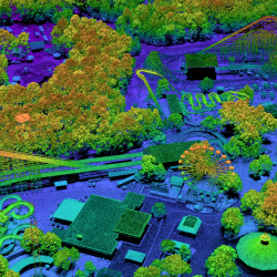
PHOENIX High CASTLE

Seismic-Metamaterial Cloaking to Protect Infrastructure
