Applied Space Weather
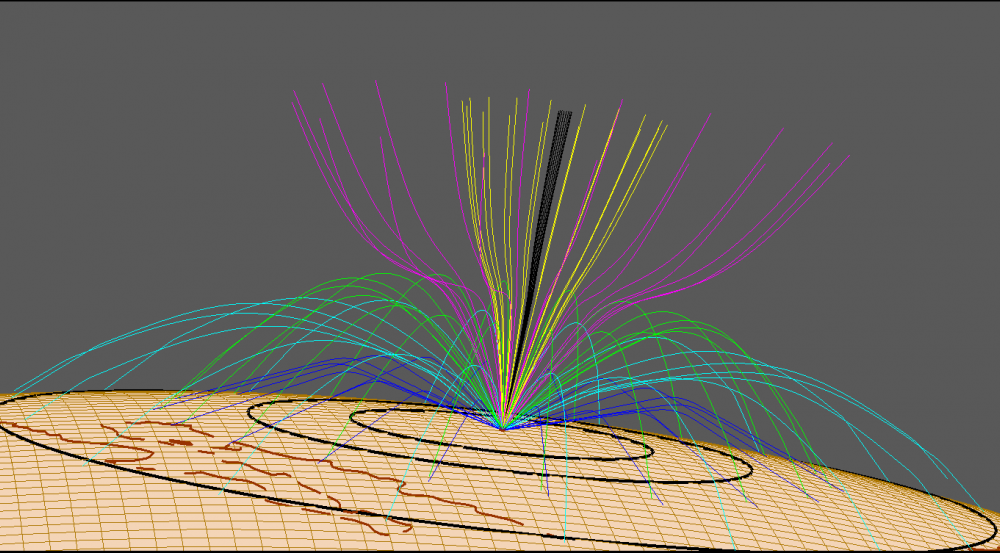
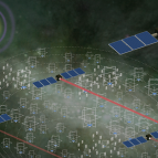
Researchers at the Laboratory are combining state-of-the-art space environment models with a detailed knowledge of system technologies to create performance specifications and mitigation algorithms that can be used in the design, analysis, and test of prototype systems to ensure they withstand the effects of space weather. The near-Earth space weather system comprises a wide variety of dynamic plasmas, energetic particle distributions, and electromagnetic fields, all of which are changing over timescales from minutes to the 11-year solar cycle. Such phenomena can have significant impact on communication, navigation, surveillance, and reconnaissance systems; for example, it can degrade electronics on satellites flying in the Van Allen radiation belts, and it can enhance signal refraction, fluctuation, and absorption for RF signals passing through the ionosphere. We are developing applications that merge real-time sensor data with physics-based algorithms for operational systems in order to reduce the impact of these space weather–induced variations on key performance parameters, such as signal-to-noise ratio or geolocation accuracy.
Related
News