
Projects
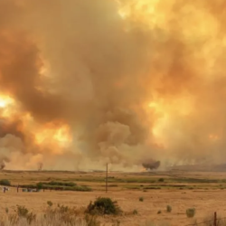
Wildfire Working Group
A group of non-profit organizations joined forces to assess the nation’s wildfire crisis and provided key recommendations.
Tags
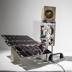
TROPICS
A constellation of small satellites is collecting rapidly refreshed weather data to advance studies of hurricane structure and intensity and improve forecasts.
Tags
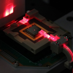
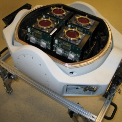
Compact Optical Trapped-Ion Array Clock
Optical atomic clocks are the most accurate in the world, but they are very large, sensitive instruments. We are transforming the complex components of these clocks into a compact, portable platform.
Tags
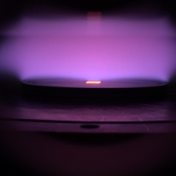
Diamond Magnetometer
Engineered diamonds show promising capability for use in quantum sensing of magnetic fields.
Tags
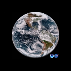
Geostationary Operational Environmental Satellite Series
The Laboratory's long-term collaboration with NOAA and NASA on environmental monitoring satellites has led to revolutionized weather imagery and products and improved detection for space and solar phenomena.
Tags
Haystack Ultrawideband Satellite Imaging Radar
Lincoln Laboratory created the world's highest-resolution radar for imaging of space objects in support of space situational awareness.
Tags
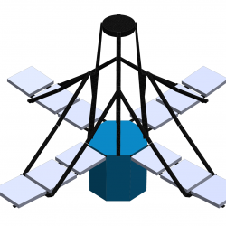
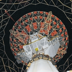
Deployable In-Space Coherent Imaging Telescope
Technologies enabling the deployment of an expandable telescope from a small spacecraft could pave the way for the development of other payloads for small satellites.
Tags
Multi-Aperture Sparse Imager Video System
An airborne system provides high-resolution wide-area video imagery and onboard data processing to enable real-time monitoring of suspicious human activity.
Tags
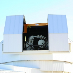
Space Surveillance Telescope
A unique curved focal surface enables a highly sensitive telescope capable of surveying broad swaths of deep space to detect the faintest objects in the night sky.
Tags
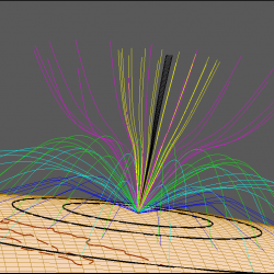
Applied Space Weather
New algorithms improve the resilience of satellite and RF systems to impacts from space weather.
Tags