


Projects
Tagged As
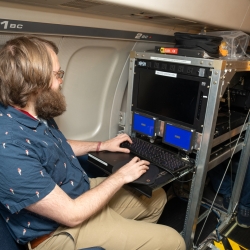
NorthPole AI Processor Flight Testing
Lincoln Laboratory flight tested an IBM-developed AI processor to assess its potential application in warfighting missions.
Tags
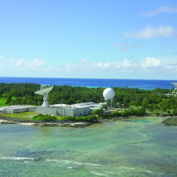
KREMS Technology Rearchitecting
A complete rearchitecting of radar backends will enable the missile and space missions on Kwajalein for decades to come.
Tags
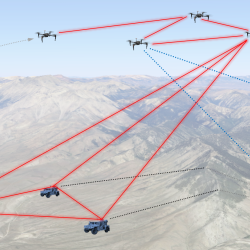
Precision Clock Synchronization for Advanced Sensing
Combined quantum networking and lasercom optical signaling techniques could impact advanced sensing applications such as geolocation with distributed systems.
Tags
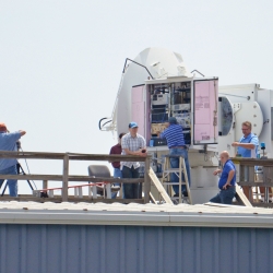
Wind Turbine Interference–Mitigation Study
A strategy for lessening wind turbines’ effects on the performance of an aircraft measurement system at a naval air station on the Chesapeake Bay could inform future research into interference mitigation for other radar applications.
Tags

Dual-Use Waveforms for Radar Detection and Wireless Communication
New waveforms enable efficient spectrum sharing between radars sensing moving objects and wireless communications systems transmitting data.
Tags
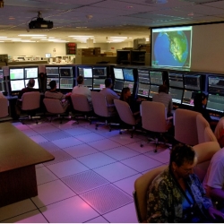
Reagan Test Range Automation and Decision Support
New software tools provide test operators with automated decision support for directing sensors during increasingly complex tests conducted at the Reagan Test Range (RTR).
Tags
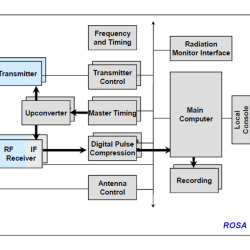
Kwajalein Modernization and Remoting Program Radar Open System Architecture
We developed an open system architecture that reduces the complexity and cost of operations at the Reagan Test Range.
Tags
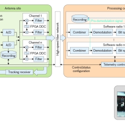
Telemetry Modernization with Open-Architecture Software-Defined Radio Technology
We conducted a software-defined radio technology development program to improve the way telemetered information is collected and processed.
Tags
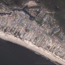
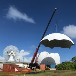
ALCOR Radome Replacement
An aging weatherproof enclosure protecting one of the space surveillance radars on Kwajalein Atoll is replaced.
Tags