DisasterSat
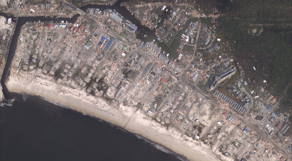
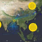
During and after disasters like hurricanes, tornadoes, floods, wildfires, and earthquakes, emergency managers must identify areas with the greatest need and send the right resources to respond and recover. Two to three days or longer often elapse before the emergency management community has a complete picture of impacts. Overhead imagery can help emergency managers make early, informed decisions. Satellite imagery in particular can shed light on the extent of flood, fire, or wind impacts, road navigability, and damage to residences and infrastructure.
Currently, there is no domestic satellite system that consistently collects very high-resolution imagery and delivers operational insights to emergency managers. Due to high costs, emergency managers in the United States typically only request or collect imagery during the most severe incidents. Consequently, remote sensing is often a novelty resource that is not integrated into standard practices. The lack of a robust, labeled, and accessible disaster imagery archive also hinders the development of advanced analytics to automatically derive insights. Lincoln Laboratory is addressing this problem by exploring concepts for a dedicated system of space-based sensors and supporting analytics that provide timely and accurate decision inputs for disaster response and recovery.
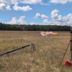
To date, the project team has documented a series of use cases for remote sensing in disasters, generated a set of high-level technical and human-factors requirements for space sensing systems, and proposed a functional end-to-end architecture for a "DisasterSat" system. In the summer of 2022, the team leveraged Lincoln Laboratory’s Agile MicroSat to conduct a test of the DisasterSat concept. Further testing is planned for the fall of 2022.
Related
News

A flexible robot can help emergency responders search through rubble
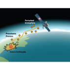
Predicting earthquakes by monitoring the ionosphere