
Projects
Tagged As

CrisisChat
An emergency response chatbot aims to enable centralized and reliable communications between the public and first responders.
Tags
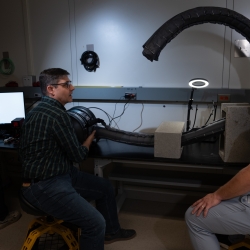
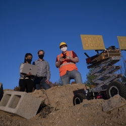
Vine Robots for Collapsed Structure Mapping
These robots can navigate difficult urban disaster terrain to help responders locate and access victims for rescue.
Tags
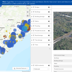
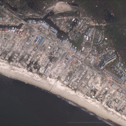
Multi-label Dataset and Classifiers for Low-Altitude Disaster Imagery
This software program helps disaster responders extract actionable information from post-disaster aerial images.
Tags
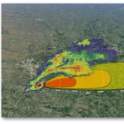
Intelligent Tornado Prediction Engine
We compiled a massive open-source dataset to develop deep learning models capable of detecting and predicting tornadoes.
Tags
Motion Under Rubble Measured Using Radar
Our see-through-wall sensor is a lightweight, portable technology that peers through rubble and debris of a disaster site to detect survivors.
Tags

Seismic-Metamaterial Cloaking to Protect Infrastructure
Novel metamaterials deployed to provide a barrier around critical structures are designed to redirect and attenuate hazardous seismic waves.
Tags
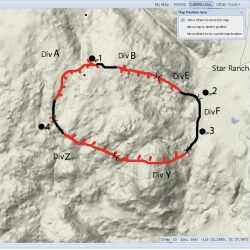
Next-Generation Incident Command System
Emergency agencies around the world are using NICS to coordinate rapid and organized response to disasters.
Tags