Projects
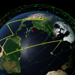
Networking for a New Era of Global Satellite Connectivity
Large constellations of satellites in low Earth orbit (LEO) allow for unparalleled global coverage but require new networking approaches.
Tags
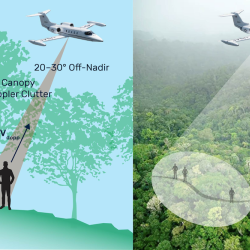
Finding People Under the Rainforest Roof with Lidar
Lincoln Laboratory is exploring the feasibility of building an airborne sensing system to detect the presence of humans under dense tree canopy.
Tags
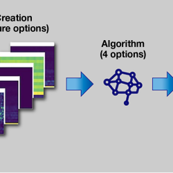
Combining Neural Networks and Histogram Layers for Underwater Target Classification
New machine learning methods capture statistical features within sonar data to distinguish between sound sources.
Tags

Low-Cost Localization Using Distributed Adaptable-Response Transponders
A deployable navigation network of small, low-cost radio transponders can help track the locations of first responders during rescue operations.
Tags

Reconfigurable Edge Computing for Optimum Resource Distribution
A processor that automatically adjusts to computational needs is designed to minimize power consumption.
Tags

Embedded Artificial Intelligence Technology
An artificial intelligence (AI) test environment can help researchers evaluate promising embedded AI technologies and their impact on systems developed for Department of War missions.
Tags
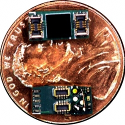
Superconducting Discrete Integrated Circuit Electronics
A technology that allows system developers to combine modules produced by trusted foundries and commercial manufacturers may deliver yield enhancements and power and performance benefits to mission-critical systems.
Tags
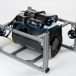
Undersea Optical Communications
A system that enables robust, long-distance communications between underwater vehicles exploits laser technology.
Tags
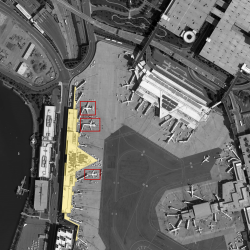
Computer on Watch
An artificial intelligence application that automatically identifies objects in aerial imagery could reduce the time analysts spend in manually combing through images.
Tags
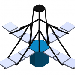
Deployable In-Space Coherent Imaging Telescope
Technologies enabling the deployment of an expandable telescope from a small spacecraft could pave the way for the development of other payloads for small satellites.
Tags