Projects
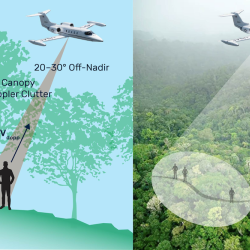
Finding People Under the Rainforest Roof with Lidar
Lincoln Laboratory is exploring the feasibility of building an airborne sensing system to detect the presence of humans under dense tree canopy.
Tags
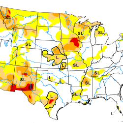
Artificial Intelligence–Based Drought Prediction
We are developing a neural network using data derived from satellite measurements of temperature and humidity to improve drought monitoring and forecasting.
Tags
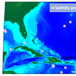
Compact Optical Salinity Sensor
We are developing a compact and encapsulated optical salinity sensor to enable more distributed and persistent monitoring of the ocean’s 3D structure.
Tags
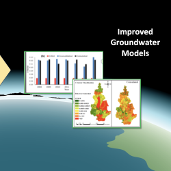
Advanced Sensing for Hydrological Metrology
With Alabama A&M University, we are identifying opportunities to apply new remote sensing concepts to improve groundwater measurements and models. These models can inform decisions related to agriculture, land use, human health and wellness, and geopolitical stability.
Tags
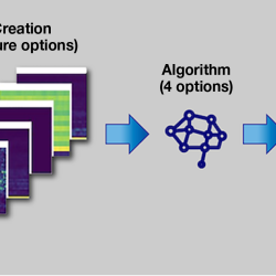
Combining Neural Networks and Histogram Layers for Underwater Target Classification
New machine learning methods capture statistical features within sonar data to distinguish between sound sources.
Tags
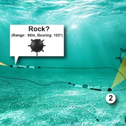
Underwater PB&J: Combining Diver and Robot Strengths for Optimized Mid-Mission Teaming
New navigation and vehicle autonomy algorithms consider which tasks humans and autonomous systems respectively do best, with the goal of improving search path planning and object classification in underwater environments.
Tags
Radio-Based Navigation for Environments Without GPS
With the goal of enabling navigation in environments where GPS is unavailable or unreliable, researchers are developing algorithms to fuse information across a network of small, low-power radio-frequency devices.
Tags
Materials by Design
A new approach to materials discovery aims to expedite the process of deploying new materials for specific mission needs.
Tags
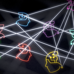
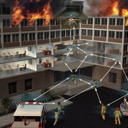
Mission-Ready Reinforcement Learning
We are using reinforcement learning to train artificial intelligence to team with humans.
Tags