Projects
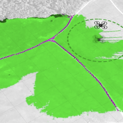
Autonomous Mobility Through Intelligent Collaboration
Teaming autonomous ground and aerial vehicles improves autonomous off-road military missions.
Tags
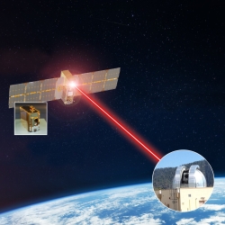
TeraByte InfraRed Delivery (TBIRD)
The laser communications payload has delivered terabytes of data from a satellite to Earth at record-breaking rates that will transform future science missions.
Tags
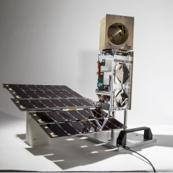
TROPICS
A constellation of small satellites is collecting rapidly refreshed weather data to advance studies of hurricane structure and intensity and improve forecasts.
Tags
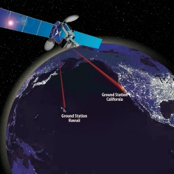
Laser Communications Relay Demonstration
Optical communications technologies decades in the making at Lincoln Laboratory were transferred to NASA for its first two-way laser relay communications system.
Tags
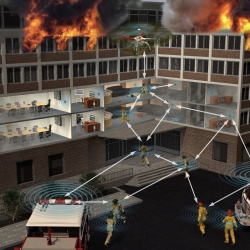
Radio-Based Navigation for Environments Without GPS
With the goal of enabling navigation in environments where GPS is unavailable or unreliable, researchers are developing algorithms to fuse information across a network of small, low-power radio-frequency devices.
Tags
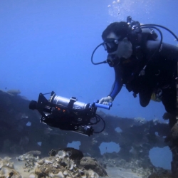
Undersea Vision-Based Navigation and Pose Determination for Human-Robot Teaming
Undersea vision-based navigation and pose determination will enable divers and robots to collaboratively solve complex tasks in an inherently unstructured environment.
Tags
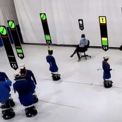
Private Automated Contact Tracing
An automated, Bluetooth-based system helps perform contact tracing in a private, anonymous way, offering a method to reduce disease spread during a pandemic.
Tags
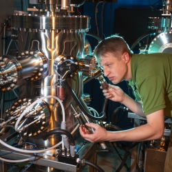
Materials by Design
A new approach to materials discovery aims to expedite the process of deploying new materials for specific mission needs.
Tags
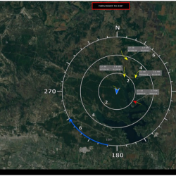
Ground-Based Sense-And-Avoid System
A radar and guidance system enables uncrewed aircraft systems (UAS) to avoid collisions with other aircraft in the National Airspace System.
Tags
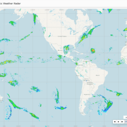
Global Synthetic Weather Radar
By compiling lightning data, satellite imagery, and numerical weather models, the GSWR provides radar-like analyses and forecasts over regions not observed by actual weather radars.
Tags